
1,79€
Deliveryuntil Mon, 17 Feb
+14,00 €shipping cost
Set the delivery location to see products according to your choice.


 AustriaEnglish
 BelgiumEnglish
 BulgariaБългарски
 CroatiaEnglish
 CyprusΕλληνικά
 CzechiaEnglish
 EstoniaEnglish
 FinlandEnglish
 FranceEnglish
 GermanyDeutsch
 GreeceΕλληνικά
 HungaryEnglish
 IrelandEnglish
 ItalyEnglish
 LatviaEnglish
 LithuaniaEnglish
 LuxembourgEnglish
 MaltaEnglish
 NetherlandsEnglish
 PolandEnglish
 PortugalEnglish
 RomaniaRomână
 SlovakiaEnglish
 SloveniaEnglish
 SpainEnglish
 SwedenEnglish
© 20[0-9]{2} Skroutz SA All Rights and Lefts reserved. FAQ | Terms of use | Privacy Policy | Cookie Policy


Teaching Aid Books


Teaching Aid Books


Teaching Aid Books
Teaching Aid Books
Teaching Aid Books
Teaching Aid Books

Teaching Aid Books
Prices are calculated for:Luxembourg, Other Payment Options
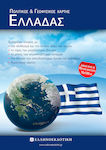
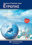
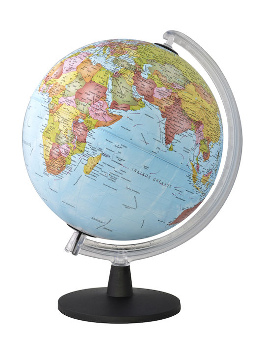
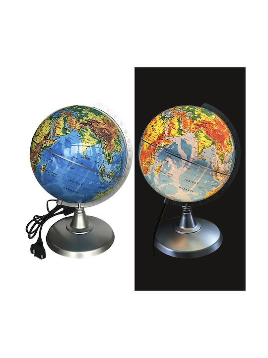
Includes tables with the flags, area, and population of European countries (double-sided).
Specifications are collected from official manufacturer websites. Please verify the specifications before proceeding with your final purchase. If you notice any problem you can report it here.
Verified purchase
Verified purchase
 Technology
 Home & Garden
 Fashion
 Sports & Outdoors
 Health - Beauty
 Baby & Kid
 Auto - Moto
 Business - B2B
 Books
Books